Geographic Information System
Committed to on-time product delivery, accurate and precise data. Geographic Information System (GIS) Service
Deliver accurate and quality results
We work with Latest Equipment and software
Services
What We Offer
GIS transforms your industry by turning complex geographic data into actionable intelligence, optimizing operations, and revealing new opportunities for growth
Data Collection & Integration
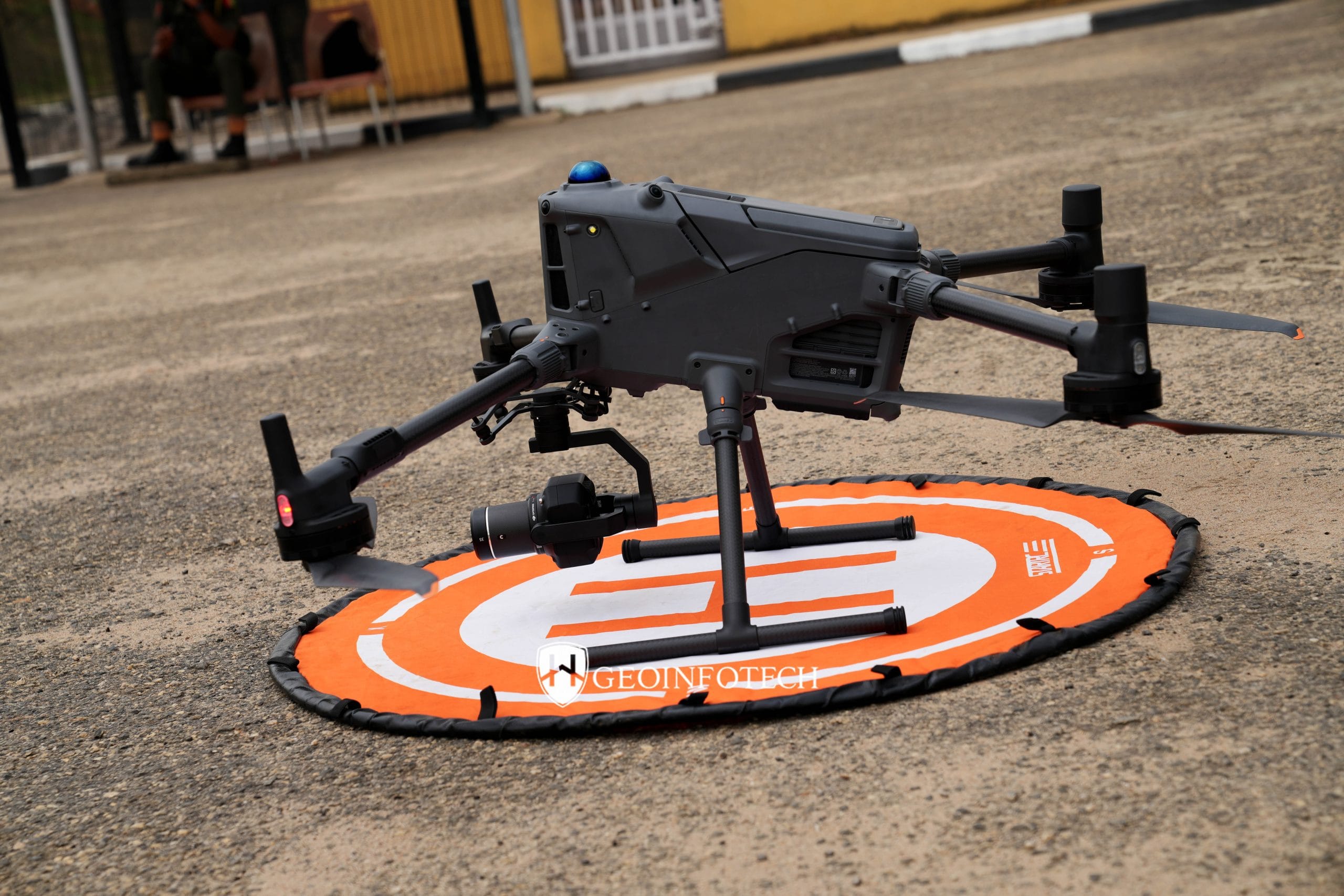
Drone Arial Surveying Company Leader in Nigeria.

Data Management (GDBMS)
Commited to on-time product delivery, accurate and precise data.

Geospatial Data Analysis & Spatial Data Monitoring
Commited to on-time product delivery, accurate and precise data.
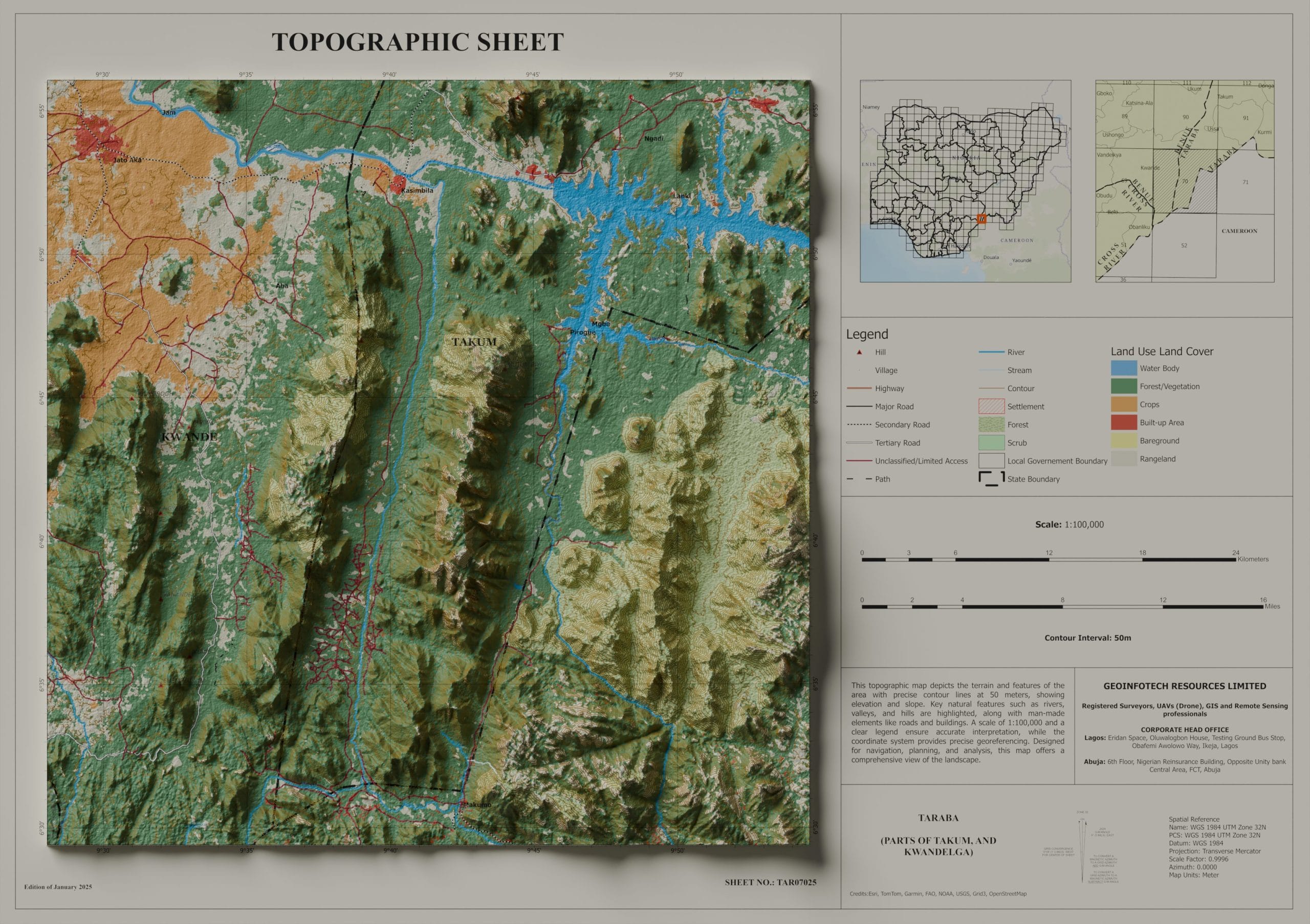
GIS Mapping and Visualization
We decipher the Earth's secrets from above, harnessing the power of satellite and drone technology
Geocoding (Addressing) and Geotagging
Redefining the boundaries of spatial data with absolute Precision and foresight

Web GIS
Redefining the boundaries of spatial data with absolute precision and foresight

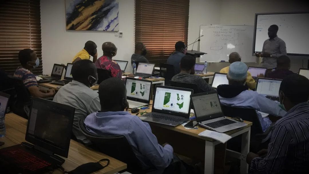
GIS Training and Consulting
Redefining the boundaries of spatial data with absolute precision and foresight

GeoStore (Buy Products) Hardware/Software
Redefining the boundaries of spatial data with absolute precision and foresight
Purpose
Explore Powerful GIS Features
Explore interactive maps, smart layers, and real-time data — all in one place.
GIS Data Analysis and Mapping
At Geoinfotech we offer a wide range of tasks and applications related to managing, analyzing, and visualizing geospatial data. Geographic Information System Services.
Web Mapping
Welcome to a world where data meets geography, and insights are transformed into action. Our GIS services harness the true potential of geospatial information, revolutionizing the way businesses operate. With our expertise, you can gain a competitive edge, make smarter decisions, and drive success.
Training & Map Store
Be Part of Our Growth Story
Join us to shape accessible, impactful, and user-driven GIS tools.
BOUNDARY SURVEY AND ENCROACHMENT ANALYSIS
HOW EGBIN POWER PLANT IMPROVED LAND MANAGEMENT THROUGH GEOSPATIAL TECHNOLOGY.

ROUTE TOPO SURVEY AND MAPPING
HOW GEOINFOTECH SUPPORTED THE ENUGU CABLE CAR PROJECT THROUGH ADVANCED GEOSPATIAL SOLUTIONS.
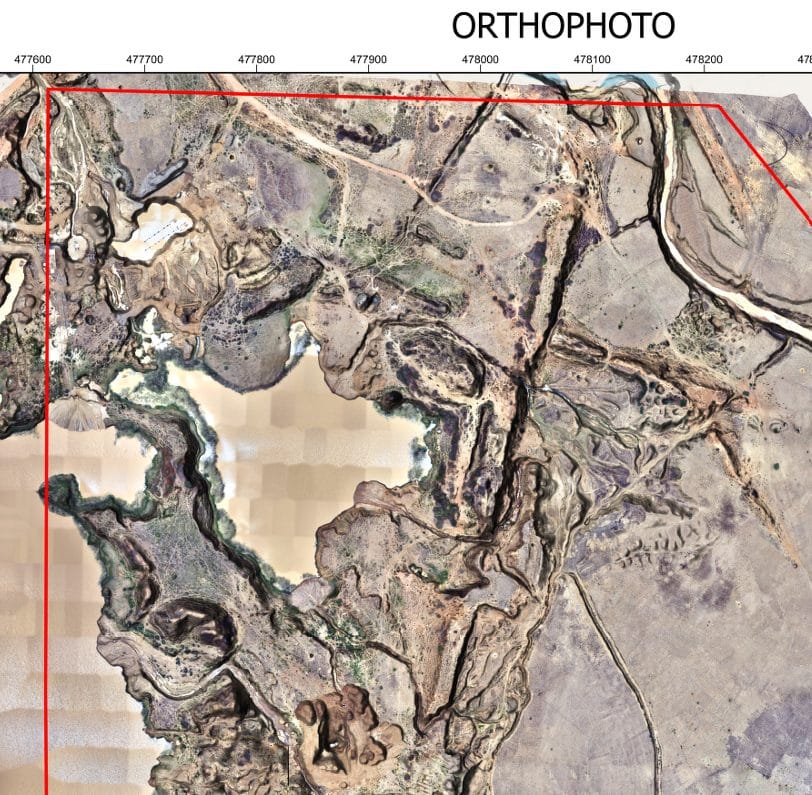
PRECISION TOPOGRAPHIC SURVEY AND MAPPING
HOW GEOINFOTECH SUPPORTED MINING SITE PLANNING IN JOS THROUGH DRONE TECHNOLOGY.